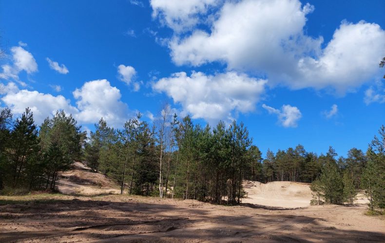
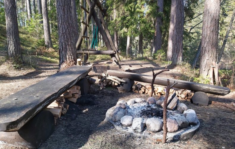
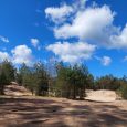
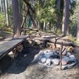
The Rojas River and its surroundings are a suitable place for recreation and active leisure all year round. From spring to autumn, hiking along the Roja River and its adjacent forests is possible on foot, on bicycles and in boats, and in winter on skis. There are 3 campsites with benches, tables, toilets, swings, exercise structures, rubbish bins and fireplaces. The Roja River is the longest river in the whole Talsi region, with a length of about 78 km. The word “Roja” is a place name of Baltic Finnish origin and its meaning in Livonian is related to the grassy, reed-covered mouth of the Roja River. Loosely translated, it could mean ‘Dulķupe’. The river starts its course in Valdgale parish, Talsi municipality, and flows into the Gulf of Riga, in Roja. The river was formerly used as a trade route. Sailors used these tributaries to sail inland. Baron Hahn exported his products – alcohol, timber and other goods – to Riga, St Petersburg and Holland along the Roja River from Lubezere Manor in the 17th century.
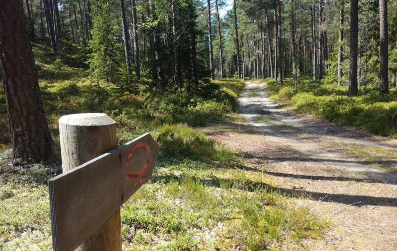
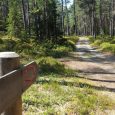
The open-air trail along the Roja River offers 3 routes of different lengths along the Roja River and its adjacent forests – 2km, 7km and 15km, each marked with a coloured sign.
All three routes are circular, so you can walk them in the opposite direction. The longest of the routes, through the forest, will take you from Roja to Žocene, across the Roja River and back to Roja on the opposite bank of the river and the route will end at the Roja Hotel. To get back to the starting point of the route (because you may have left your car there), you should continue along Jūras Street in the direction of Roja/centre until you reach the Maxima store, where you will turn right into the store’s car park, or continue along Kāpu Street, back to the starting point of the nature trail.
Since summer 2019, seven virtual lookout towers have been placed at different sections of the trail. QR codes are displayed on the information board, which, when scanned by Māris Olte, will invite you to rise above the treetops and see the same place in a 360° aerial panorama at a height of 40-120 m.
This marked nature trail is designed for pedestrians and cyclists, so let’s respect the visitors and not use motorised vehicles on this nature trail. Vehicles are allowed for trail maintenance or forest management work.
57.506447 22.789185
Photos from the Talsi Municipality TIC archive.