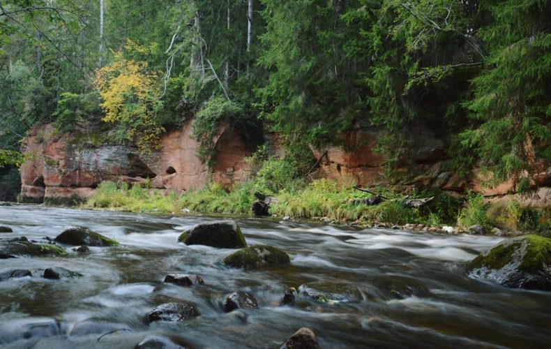
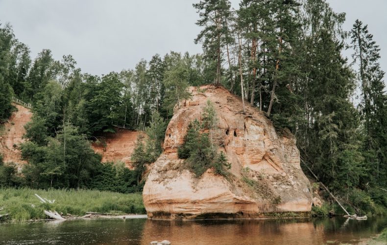
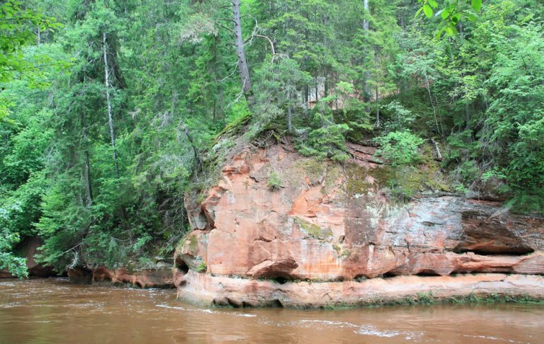
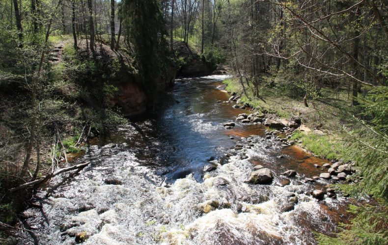
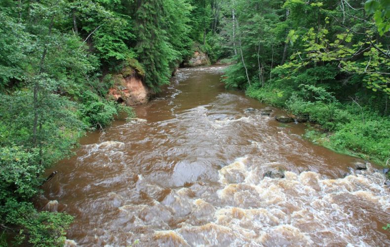
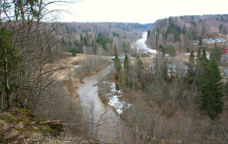

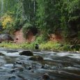
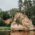
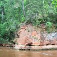
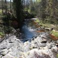
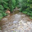
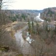
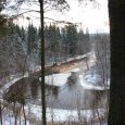
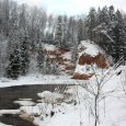
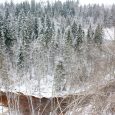
From Zvārte Rock you can hike along the Amata Trail, where the river valley from Melturi to its mouth in the Gauja is rich in dolomite and sandstone outcrops, beautiful landscapes and diverse flora and fauna.
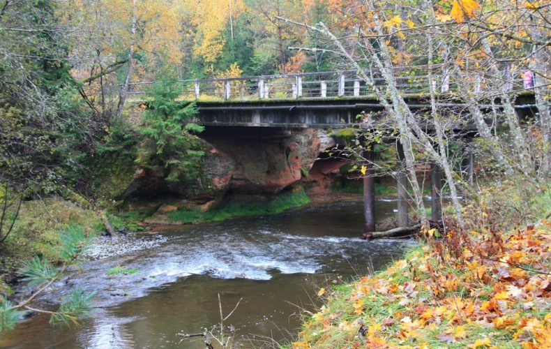
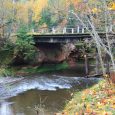
Apart from Zvārte Rock, the rest of the geological formations can be viewed only by following the Amata Trail from Melturi to Veclauči Bridge or by boating along the river.
- Melturi – Karlu fish farm – 3.6 km;
- Karlu fish farm – Zvārtes Rock – 9.2 km;
- Zvārtes Rock – Veclauči Bridge – 2.4 km
The route is marked with orange markers on tree trunks.
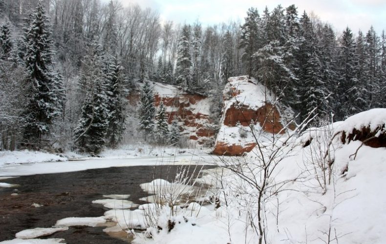
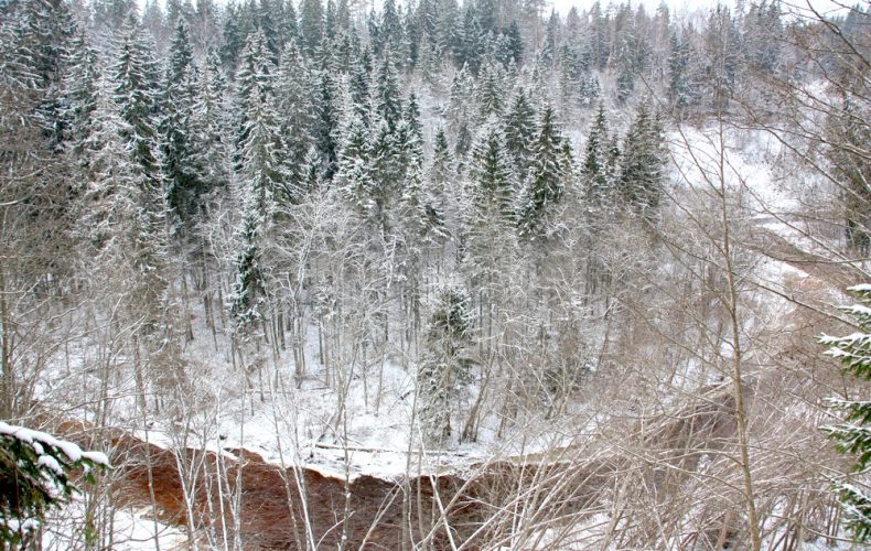
The sandstone outcrops on the banks of the Amata River are best seen in late autumn, winter and early spring, as they are not hidden by the green foliage of the trees. Winter offers a unique opportunity to see ice waterfalls, which are formed where small springs flow into the river.
Photos by I.Eglīte and from the archive of Cesis Municipality TIC.