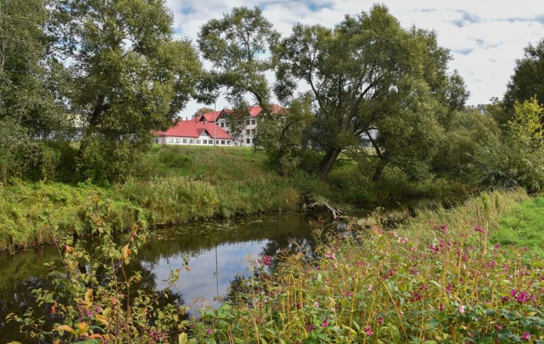
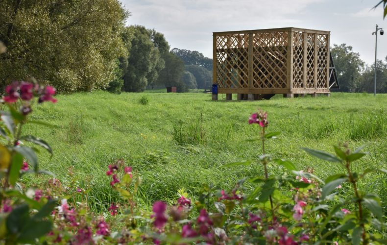

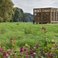
The Ruja River Floodplain Walking Trail runs along the banks of the Ruja River for about two kilometres. The trail is suitable for leisurely walks for nature lovers.
The Rūja River probably takes its name from the Estonian word ruhi- `sile, one-legged boat’, as the Rūja was an important waterway in ancient times and the Rūjiena region itself was part of the Estonian Sakala state.
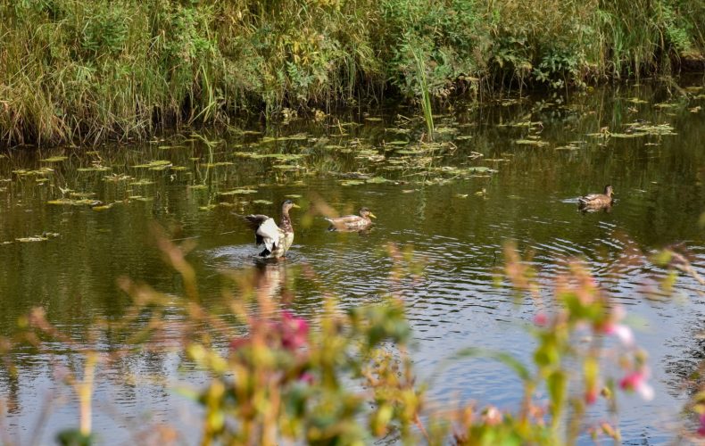
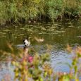
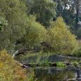
Today, the area, which is outstanding for its biodiversity, is part of the North Vidzeme Biosphere Reserve. The river floodplain is 250-500 metres wide. It consists mainly of wet meadows flooded by floods, as well as scrub and forests.
GPS: 57.893197, 25.325801
Valmiera County Tourist Board photo archive