
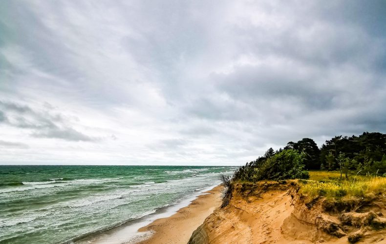
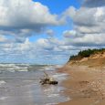
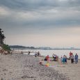
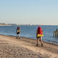
To the north of Ventspils, in the direction of Kolka, is Staldzene – an old fishing village where some 19th century fishermen’s homesteads have been preserved.Here fishermen still go to sea and on calm evenings often smell of hard smoked butties.
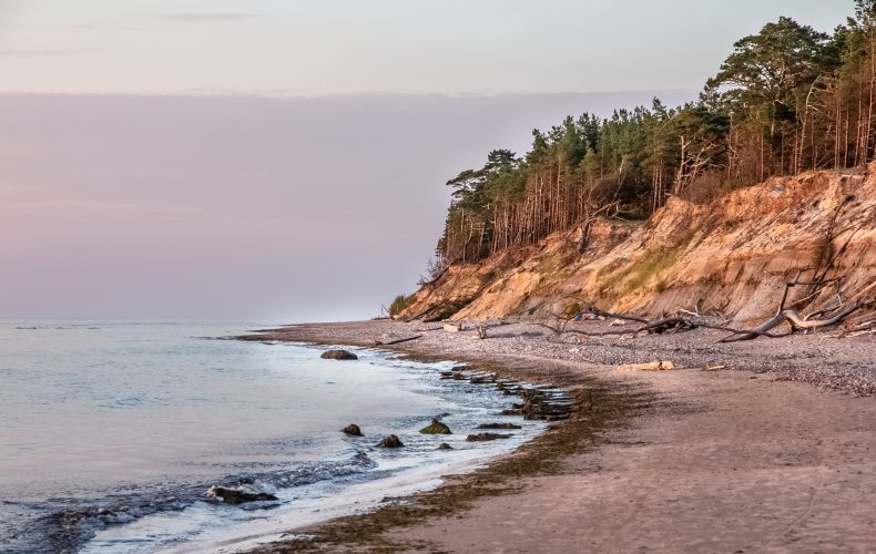
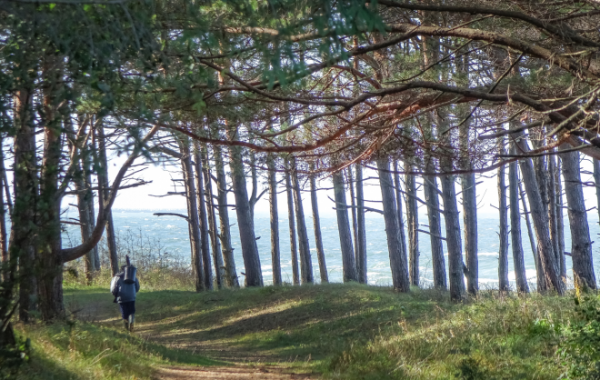
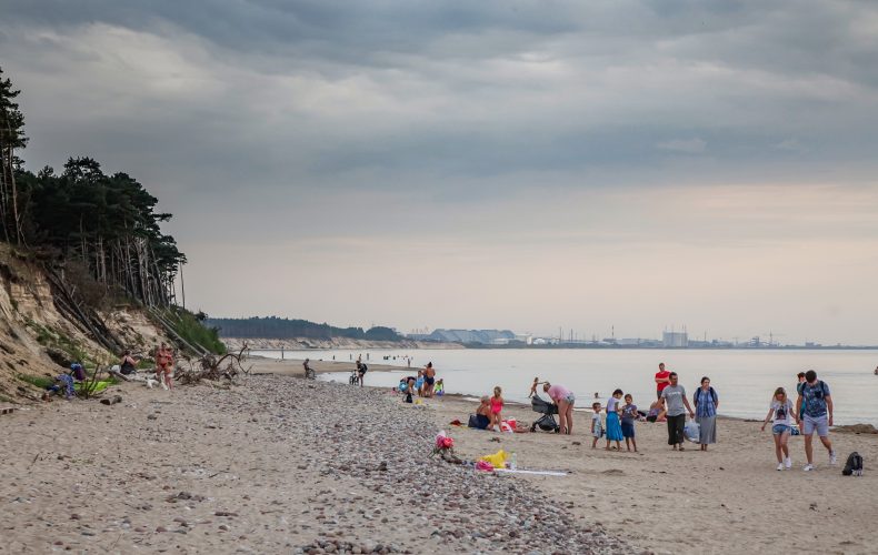
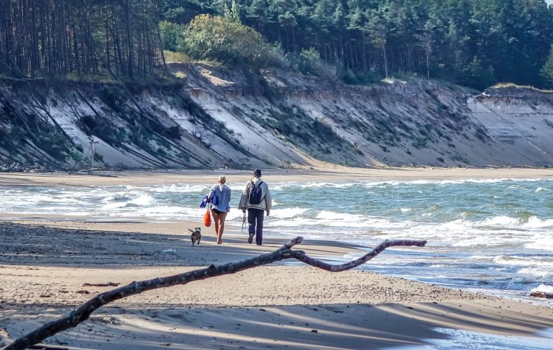
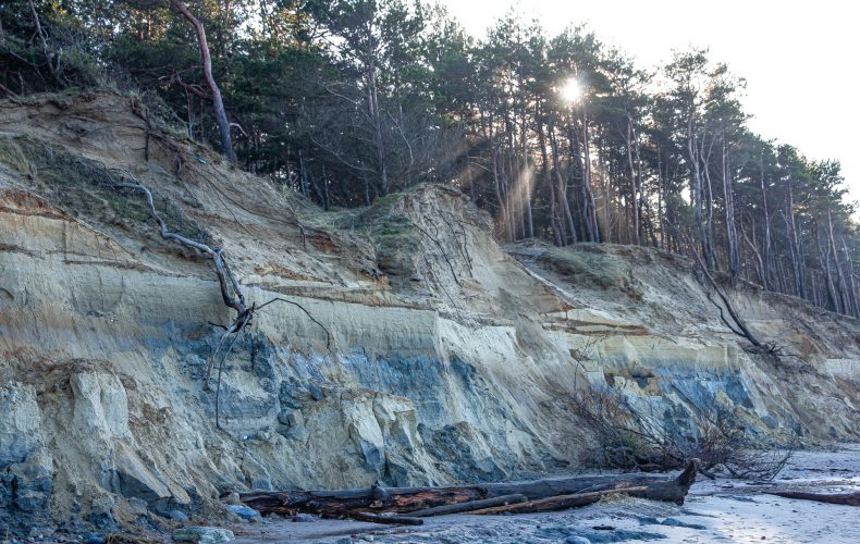
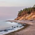
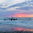
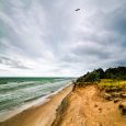
Staldzene is a popular walking and bathing place for townspeople and visitors with a spectacular sea steep. Staldzene’s steep shore is the highest in Latvia.
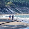
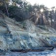
The steep shore is a typical abrasion shore 4-8 m high, exposing sediments from different stages of the Baltic Sea over a length of about 400 m. The steep slope is being washed away by the erosive action of the sea. Using coastal monitoring data, it is estimated that the abrasion shore retreats by an average of 1 m each year, resulting in a reduction in the area of the natural monument, which currently stands at approximately 6 ha. The outcrop has a limited lifetime, according to the information source Specially Protected Nature Areas in Ventspils.Over time, the shore has also lost its height – about 50 years ago, the steep bank reached 12 metres. The steep bank is washed away by a number of factors, including climatic ones – wind speed and direction, air temperature, sea level, currents, waves, ice formation, etc. The piers of Ventspils harbour and the deep shipping channel continue to have a significant impact, completely interrupting the natural northward movement of sediment past the harbour.
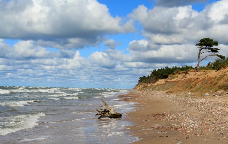
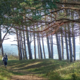
The Staldzene steep bank contains protected habitats of both European and Latvian importance: forested sea dunes, boreal forests, calcareous sandy meadows, grey dunes covered with bryophytes. 8 specially protected plant species occur in the territory of the natural monument.
“Staldzene Steep Banks” is located in the territory of Ventspils Municipality and Ventspils City, covering a 9 km long stretch of the seashore along Staldzene to Liepene. Their height reaches 4-18 m above sea level. The stretch of steep shores is magnificent, scenic and exposes a great variety of sediments. The longest stretch shows blue-grey stony sandy clay (moraine) deposited during the Ice Age under layers of sand from the coastal dunes, as well as red-brown clay from the glacial lake.
Staldzene steep cliffs have been recognised as a Latvian Geosite of the Year 2021. At an educational event in honour of Staldzene Steep Banks as the Latvian Geopark of the Year 2021, information stands were unveiled, one of which was also installed in Liepenė.The information stands were unveiled by Dainis Ozols, an expert from the Nature Conservation Agency and the North Vidzeme Geoparks Association.
T
he Geological
and Geomorphological Natural Monument in the territory of the City of Ventspils was established in 2001 on an area of 8.6 ha to protect and preserve the unique moraine outcrops of the Kurzeme glaciation, the clay deposits of the end phase of the Latvian glaciation and other historical phases of the Baltic basin.
2001In 2001, after a storm, jewellery and antiquities from the Bronze Age (7th century BC), the largest hoard of its kind in the Baltics, were discovered on the Staldzenes steep bank.
57.445463, 21.603285
Photo Ventspils Tourism Information Centre photo archive.