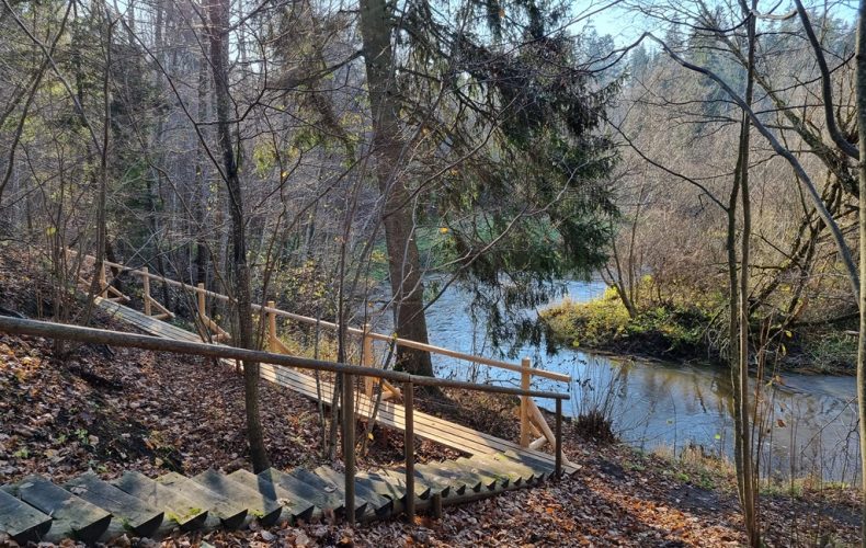
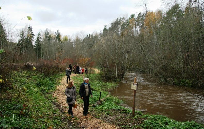
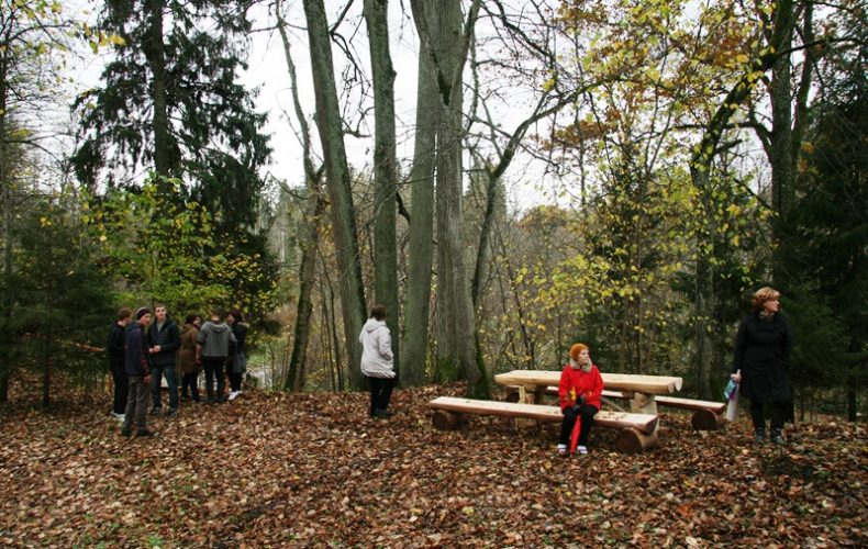
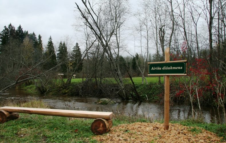
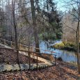
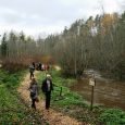

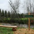
The mountain nature trail is 2.3 km long, starting at the Kanaviškės reservoir and running along the Loše River until it reaches the Venta. The trail features signs and information about the sights – the railway embankment created for the transport of lignite, the blue clay steep bank and the Airesi boulder. There are several resting and viewing places, one of which is located near the beech oak. There are footbridges, bridges and, in the steeper parts, stairs for visitors’ convenience. The trail leads along the recreation area “Ievas”.
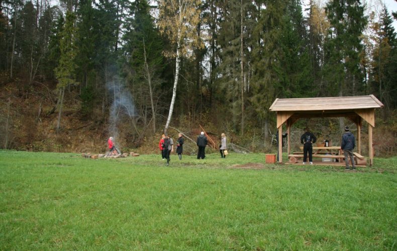
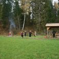
There is a fireplace and a picnic shelter.
GPS 56.458858, 22.115859
Photos from Saldus TIC archive.