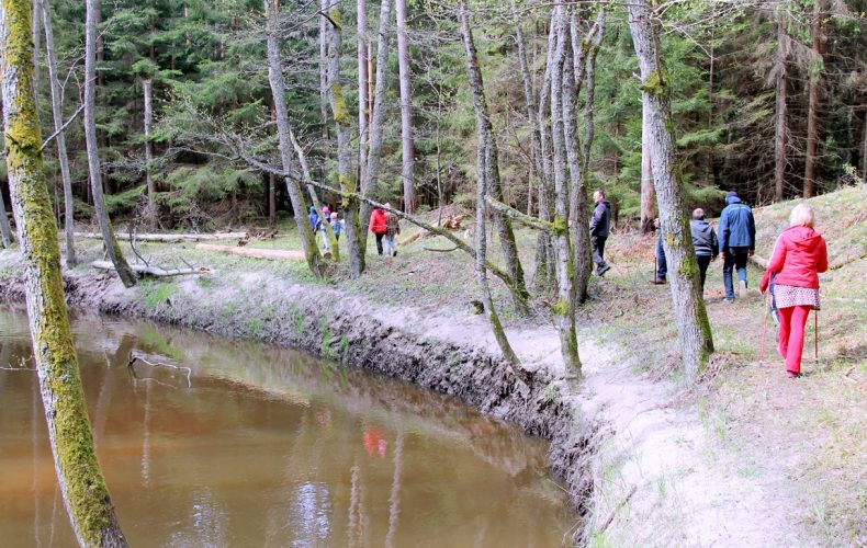
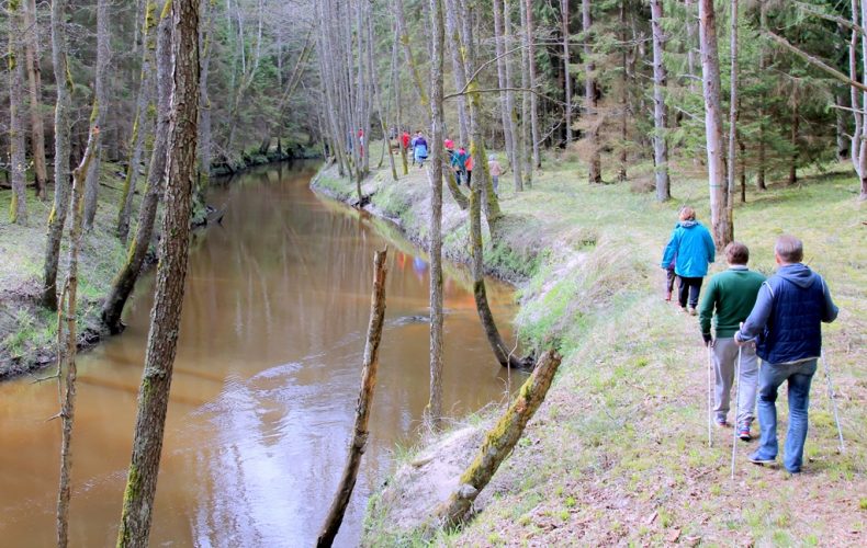
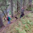
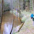
Although you won’t see the usual “brown sign” pointing to the trail from the highway just yet, it’s easy to find. Follow the sign to the Ulmale-Labrag Lutheran Church, the trailhead is marked by a specially designed trail name sign. The route continues away from the sea and winds up and down the picturesque valley of the lower Riva River. The Riva flows in a canyon-like gorge, which reaches a depth of 12 metres. The river’s numerous meanders and steep bank outcrops are open to the eye, and there are magnificent natural sights and a variety of flora. If you are lucky, you may also spot a fish stork or a black stork. The river is more suitable for boating in spring and autumn.
The trail has 3 sections, the first two each 3 km long, the last 2 km long. The route is suitable for active walkers, it takes on average 2.5 hours to complete all 3 sections.
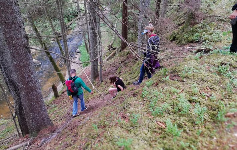
The first two stages are marked with green paint on trees. The last one – the more difficult one – is not specially designed and marked, it will appeal to travellers who love untouched nature and are prepared to overcome various possible obstacles – fallen trees, overgrown shore, etc. To avoid getting lost, it is recommended to follow the river bank for the last section, which will lead you to the end of the route at the Gumby Bridge.
When visiting the nature trail, visitors are advised to wear comfortable hiking clothing and footwear.
Be sure to take a look at the wooden bridge over the Riva River and the waterfall in the centre of Labrags, before the trail starts.
Photos from Ventspils TIC archives