In the Livonian Chronicle of Indricus, the land of Trikata has been mentioned since 1208. The text of the chronicle suggests that Trikata was closely connected with the often mentioned Beverīna castle, which is why the hypothesis of the Trikata castle mound, located below the stone castle, as the site of Beverīna castle was put forward.
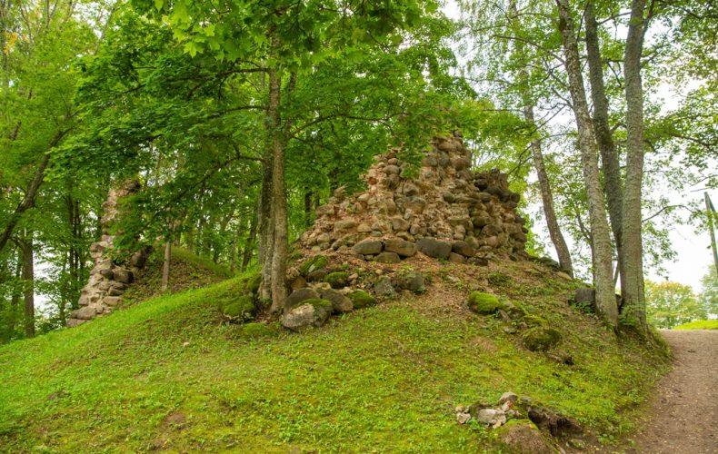
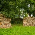
The castle mound is located in the centre of Trikata, on a high promontory between Lake Trikata to the east and the Abūla River to the south and south-west. The Trikata hillfort is rounded and about 100 m in diameter. The mound rises about 30 metres above the level of the passing Abula and the nearby lake.
The Arnt Chronicle dates the construction of Trikata Castle to 1284, the time of Wilhelm vonSchauerburg, a captain of the Order, but Trikata does not appear in the Echo Chronicle at this time.
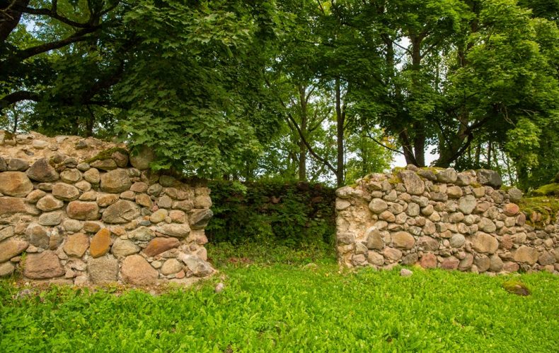
There is a steep slope on the western side of the castle, on the right bank of the Abul, both near the main castle and the bailey, and the same on the eastern side near Lake Trikata. On the south side, Trikata Castle is protected by the outlet of Lake Trikata to Abul. So, on these three sides, there would be little chance of taking the castle in the event of a siege. On the northern side, the castle mound is connected to the elevated ground, so an outer moat in front of the castle was built to protect it. A road now runs along the bottom of this moat. On the north-east side, beyond the outer castle moat, in front of the possible castle gate, an almost straight depression can be seen in the terrain. After about 350 m it turns into a deep ravine which slopes down to Lake Trikata, but after that it cannot be traced. One side of the castle and the inner moat must have been flooded to prevent damage to the castle walls [during the siege] and at the same time to supply drinking water from springs higher up on the north side.
It should be noted that although the tower and the castle itself are built of rubble, brick is used. Pieces of flat tile have even been used in the walls.
Trikata Castle was ruled by the Germans (1224-1561), Poles (1561-1577 and 1582-1600), Russians (1577-1582) and Swedes (1600-1702). During the Northern War in 1702, the Russians burned the castle and it was never rebuilt.
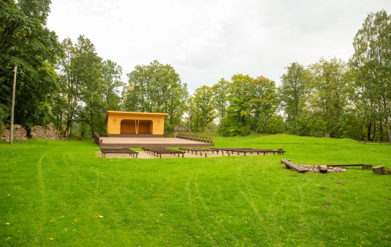
In the Middle Ages, a small town was established near the castle.
GPS: 57.5409387, 25.7088813
Valmiera Municipality Tourist Board photo archive