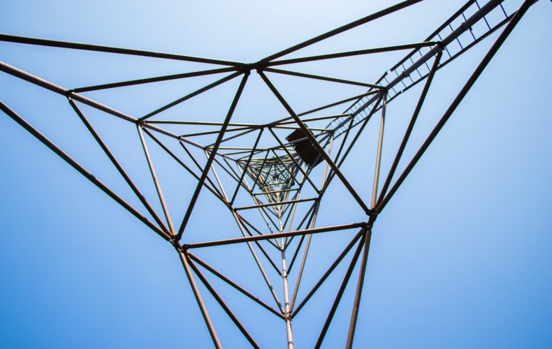
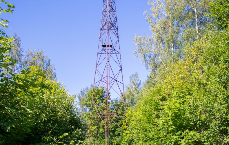

Do you know how long distances on the surface of the Earth were once determined? By triangulation. This method also made it possible to deploy a network of geodetic points over a wide area for surveying the terrain and making maps. The geodetic circle of Struve is a unique geodetic survey system of the 19th century and an outstanding testimony to the history of science and the development of technology. 16 geodetic points were established in Latvia, including the Strūve geodetic circle points “Ramkau” (in Ranka parish) and “Kortenhof” (on the Kārtenes castle mound in Beļava parish) in Gulbene municipality.
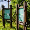
Photo from the Gulbene TIC archive.